


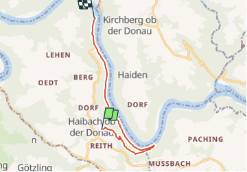

4.2 km | 5.3 km-effort

Tous les sentiers balisés d’Europe GUIDE+


FREE GPS app for hiking
 SityTrail
IGN / Geographical institutes
SityTrail World
The world is yours!
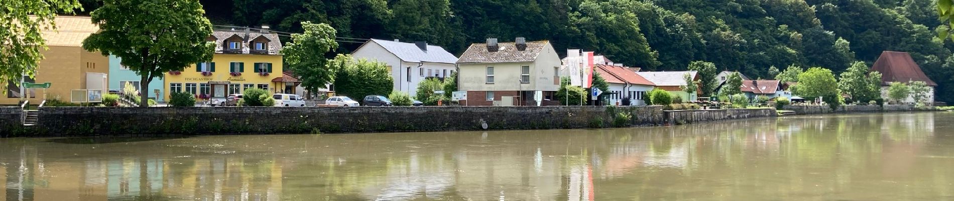
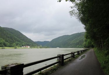
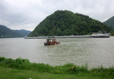
Trail On foot of 8.9 km to be discovered at Upper Austria, Bezirk Eferding, Haibach ob der Donau. This trail is proposed by SityTrail - itinéraires balisés pédestres.
Symbol: none


On foot
On foot
On foot

On foot

On foot
On foot
On foot

On foot
On foot